Other
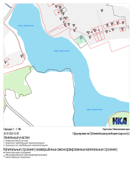
To place a tourist site near Kurmanovo
Mogilev Region, Mstislavl District 54.1133,31.3794
State Kurmanovo village
General characteristics
Cadastral number
724600000001001343
Ways of land provisionLease, Use
Total area, ha2
Coatingasphalt and gravel surface
Potential ways of usageServices (incl. trade, tourism, hotels, etc.), Other
Sanitary zones or other restrictionsno
Other significant facilitiesno
Cadastral value of 1 ha, $0.05
Land encumbranceno
More infoNear the site is a water reservoir, on the shore of which you can place a tourist facility
Infrastructure
Transport connection
Access road
Main republican roadsR15 (Krichev-Orsha-Lepel)
4,8 (distance from the object, km)
Railway"Ciomny les" station
26 (distance from the property, km)
Access roadsRoad network of Kurmanovo agro-township
0.01 (destination from the object, km)
Engineering communicationsElectricity
Electricity supply0.01 (distance from the object, km)
Photo